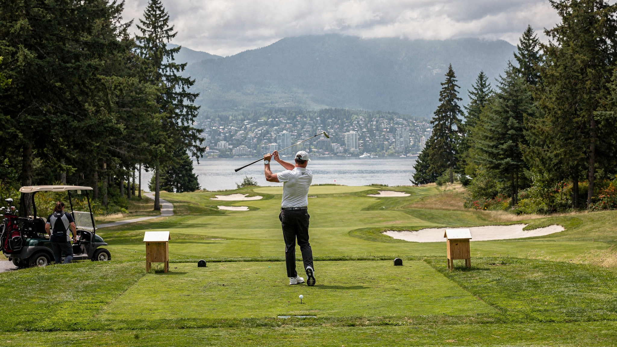

Burnaby Mountain is the rare Metro Vancouver landmark that manages to be a university, a forest, and a viewpoint all at once, without any of those roles crowding out the others. At the summit sits Simon Fraser University, a campus built almost entirely from concrete in a style that still divides opinion decades after it opened, ringed by a conservation area of second growth forest, groomed trails, and a scattering of outdoor sculpture that visitors stumble onto without much warning. Few university campuses in Canada double as genuine tourist attractions, but Burnaby Mountain does, and it does so without really trying.
What makes the mountain worth a dedicated visit rather than a drive through is the way its different layers connect. A short walk from a lecture hall can put you on a forest trail. A few more minutes on that trail can put you in front of a view over Burrard Inlet that stretches to the North Shore mountains on a clear day. The whole summit is reachable by SkyTrain and bus without a car, which is unusual for a place this scenic in the Lower Mainland. This guide covers the architecture, the conservation area and its sculpture park, the lookout views, and the practical details of getting up and around the mountain.
Arthur Erickson’s Brutalist Campus
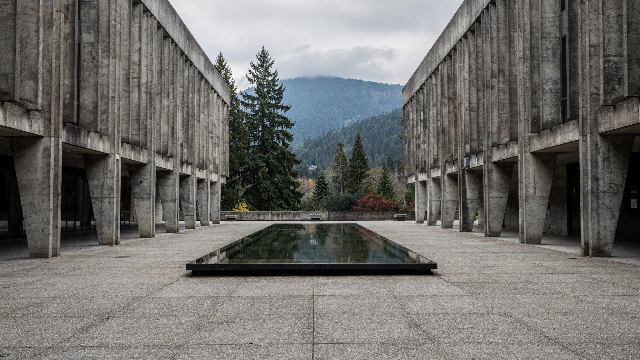
Simon Fraser University’s Burnaby campus was designed by Arthur Erickson with Geoffrey Massey and opened for classes in September 1965, and it remains one of the most complete examples of brutalist institutional architecture in Canada. Erickson organized the campus along a single dominant axis, the Academic Quadrangle and the long, covered Convocation Mall, so that the whole complex reads as one continuous building draped across the ridge of the mountain rather than a cluster of separate structures. The use of poured concrete throughout was as much a practical decision as an aesthetic one, since it suited the tight construction schedule the university was built under, but the result has become the building’s defining visual signature.
The covered walkways are the detail most visitors remember, since they let students and staff move between faculties in the rain without ever stepping outside, which matters on a mountain that catches weather the rest of Burnaby does not always get. The Maggie Benston Centre, the West Mall Centre, and the Academic Quadrangle’s reflecting pool are the most photographed spots on campus, and the pool in particular has become an informal landmark for graduation photos and campus tours.
Opinions on the architecture have shifted over the decades. What struck some early critics as cold and institutional is now widely recognized as a significant piece of Canadian modernist design, and the campus has been the backdrop for a long list of film and television productions drawn to its stark, almost otherworldly concrete forms. Walking the length of the Convocation Mall on a quiet weekend, with the concrete corridors nearly empty, gives a sense of the scale of Erickson’s vision that is hard to get from photographs alone.
The Conservation Area and Playground of the Gods
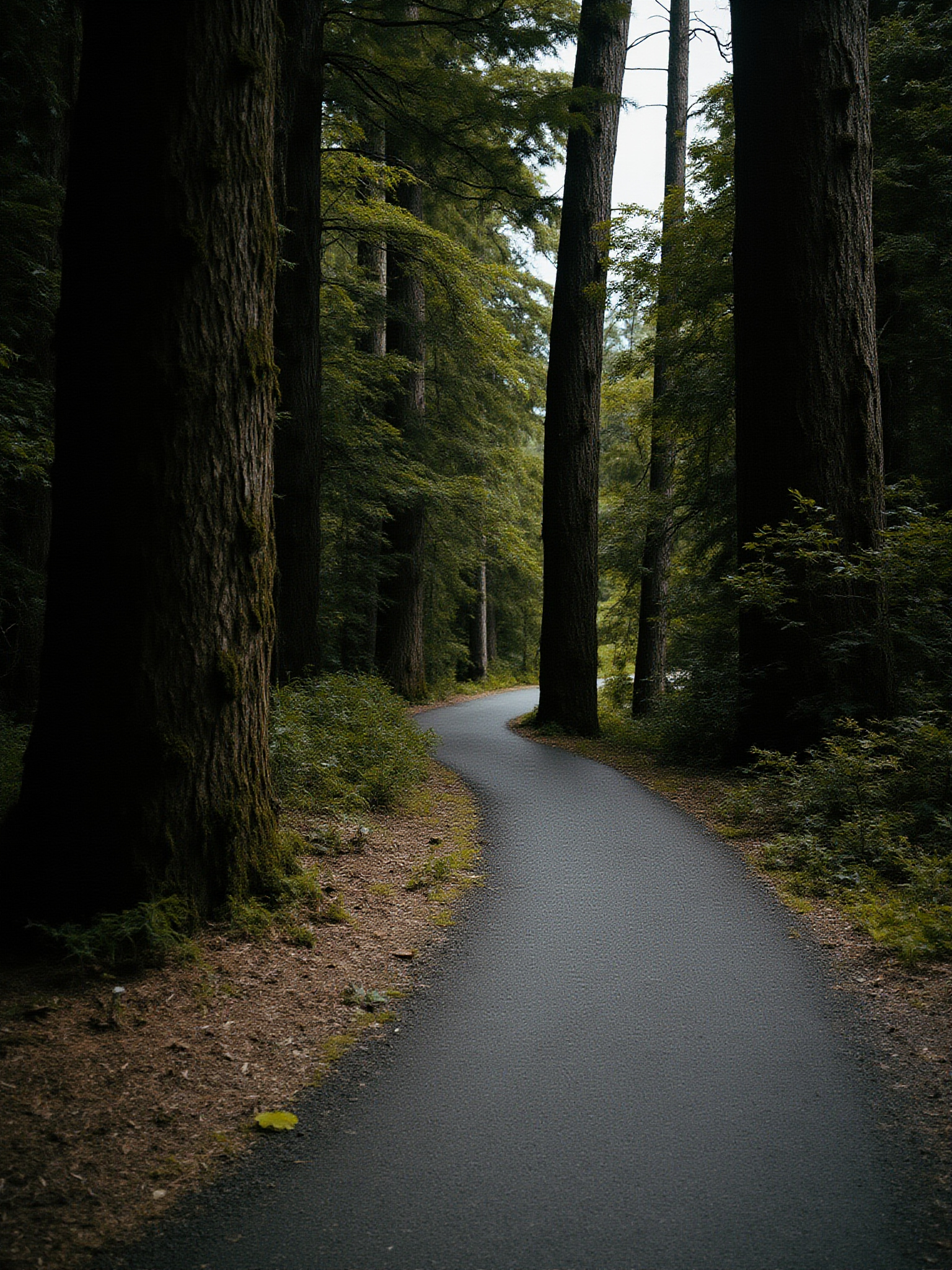
The Burnaby Mountain Conservation Area wraps around the university on the north and west sides of the summit, a stretch of second growth forest with a network of trails that range from short paved loops near the parking areas to longer, rougher paths that drop down through the trees toward Burrard Inlet. The forest here regenerated after logging in the early twentieth century, and while it lacks the old growth scale of some other regional parks, the tree cover is dense enough that the trails feel genuinely removed from the campus and the city below within a few minutes of walking.
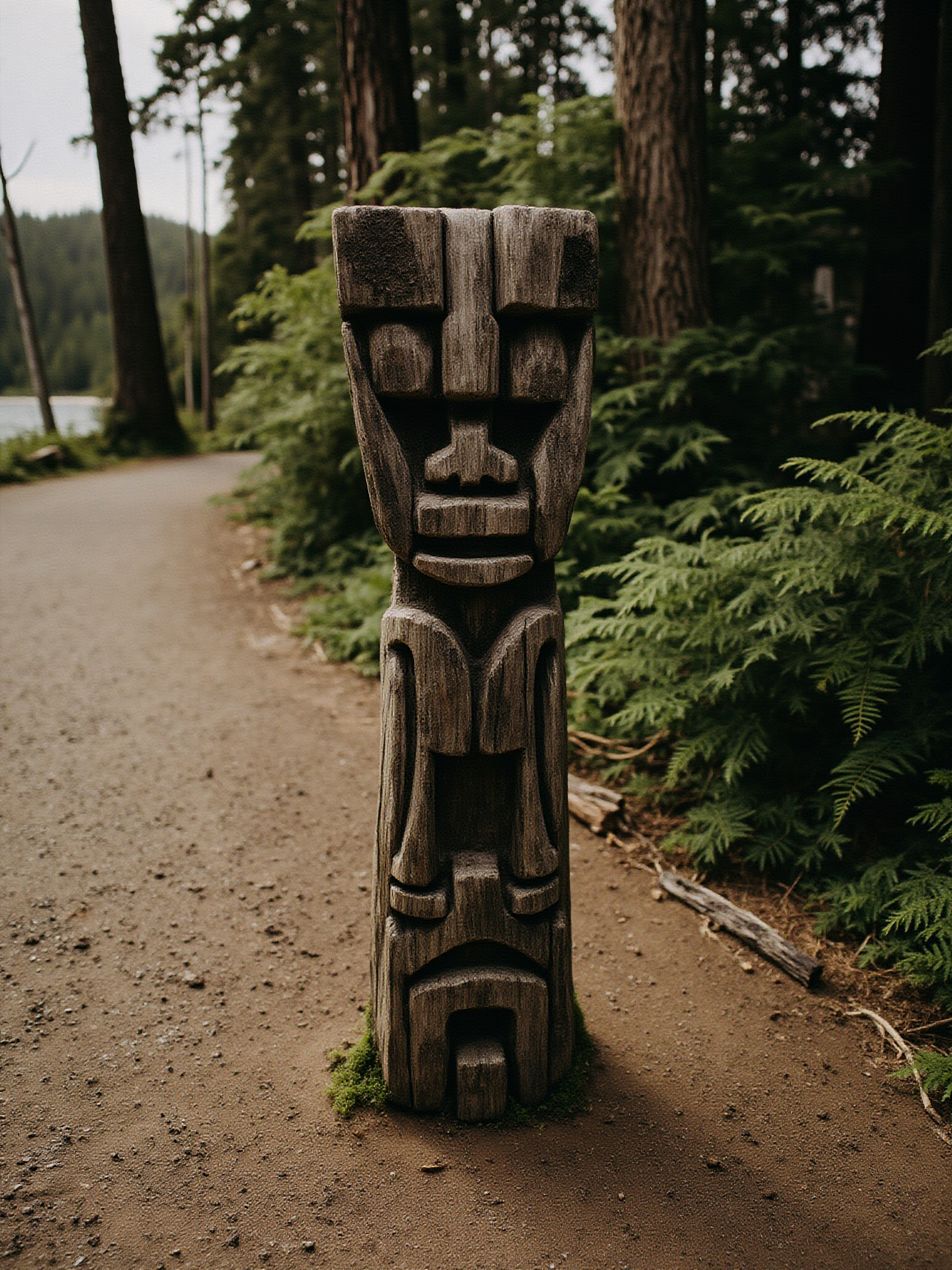
Scattered through the conservation area is the Playground of the Gods, known as Kamui Mintara, a set of large carved wooden sculptures installed around 1989 to 1990 by Nuburi Toko, an Ainu sculptor from Kushiro, Burnaby’s sister city in Japan, working with his son Shusei Toko. The carved wooden pieces sit among the trees rather than on plinths in a formal gallery setting, so visitors often encounter them unexpectedly on a trail bend, which is part of the appeal. The sculptures have weathered considerably since their installation, and that weathering has become part of their character rather than a sign of neglect.
The conservation area also includes open lawn space near the rose garden and lookout point that hosts casual picnicking, kite flying on windier days, and views that rival anything the trails deeper in the forest offer. Trail conditions can turn muddy quickly given the mountain’s exposure to coastal weather, so footwear that can handle wet ground is worth having even on a day that starts dry.
The Lookout and Views Over Burrard Inlet
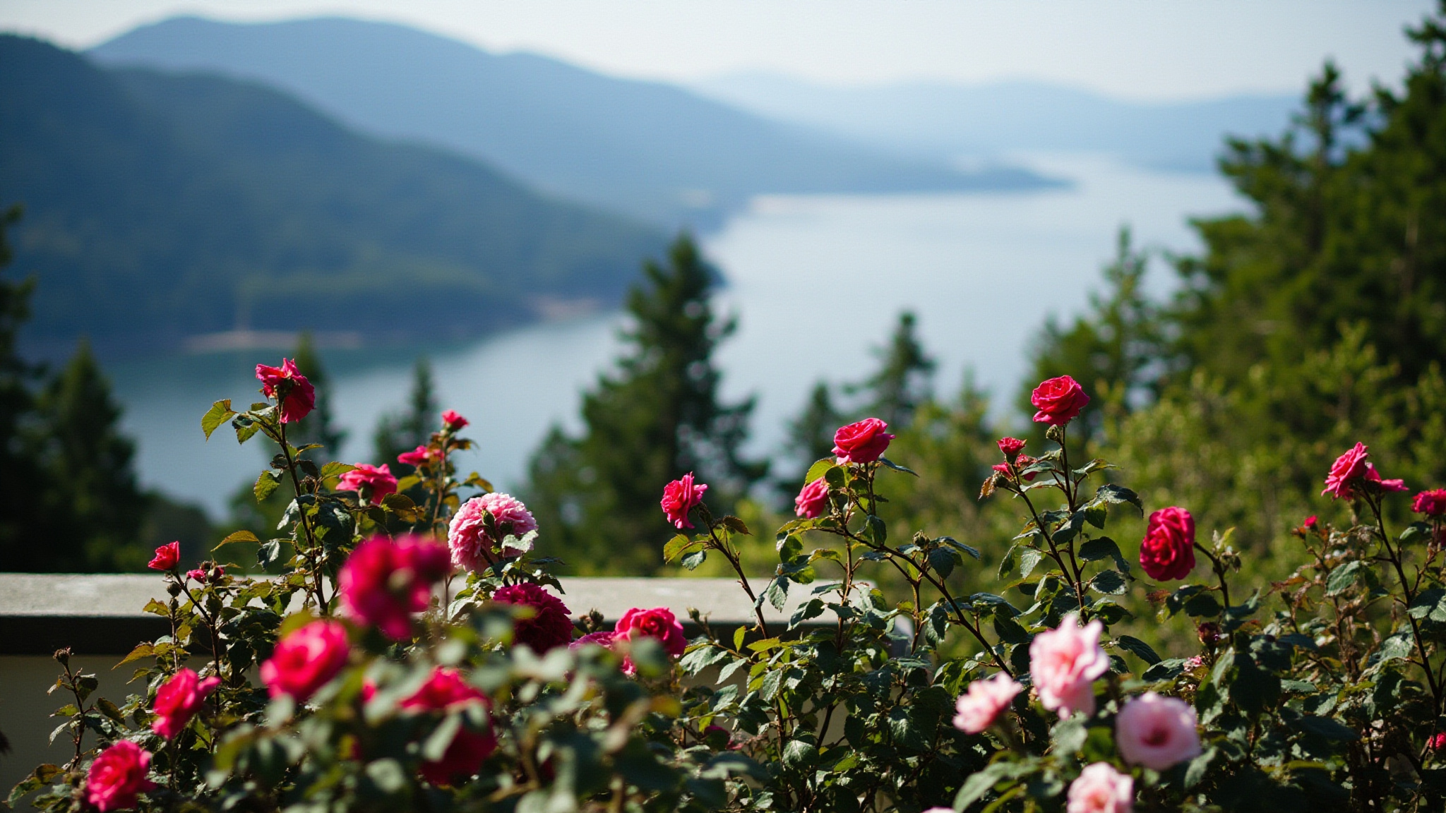
The main lookout point near the SFU rose garden is one of the better panoramic viewpoints in Metro Vancouver, and one of the least crowded given how accessible it is. From the railing, the view takes in Burrard Inlet, the industrial waterfront of North Burnaby and Port Metro Vancouver, and on clear days the North Shore mountains rising behind it all. Looking the other direction from other points on the mountain, the Fraser Valley opens up to the east, giving the summit a genuine three hundred sixty degree quality that few Metro Vancouver viewpoints can match.
Sunset is the most popular time to visit the lookout, since the light over the inlet and the mountains behind it tends to produce dramatic colour, and the west facing railing fills with a small crowd of regulars and visitors most clear evenings. Mornings are quieter and the air is often clearer before afternoon haze builds up over the inlet, which suits photographers more interested in sharp long distance views than in colour.
The rose garden beside the lookout adds a formal, planted element to what is otherwise a fairly wild summit, and it blooms through the warmer months, adding another reason to linger at the viewpoint rather than just stopping for a few minutes. Benches throughout the garden make it one of the more comfortable spots on the mountain to sit for a while, and it pairs naturally with a broader loop through Burnaby’s best photo spots for visitors making a day of it.
A Living Campus and a Working Village
SFU’s Burnaby campus is not a museum piece. It is a fully active university with tens of thousands of students, and that daily rhythm is part of what makes visiting interesting rather than static. The academic quadrangle and its surrounding buildings are busiest on weekdays during the school term, with a noticeably different, quieter feel during summer months and on weekends, when the concrete corridors and courtyards take on an almost monastic calm.
UniverCity, the residential neighbourhood built on the south side of the mountain, has grown into a genuine small community over the past two decades, with its own shops, cafes, and a farmers market that runs seasonally. It gives visitors a reason to extend a trip up the mountain beyond the campus and conservation area, and it is where most of the food and coffee options near the summit are concentrated, since the university’s own food services are geared primarily toward students and can have limited hours outside of term.
The mountain’s dual identity as both a workplace for thousands of people and a recreational destination for the wider region is unusual, and it shapes how the whole summit functions. Trail users, sightseers, and students share the same paths and viewpoints without much friction, which says something about how well the original layout of the campus and its surrounding conservation area was planned.
A Brief History of the Mountain
Burnaby Mountain was known to the Coast Salish peoples long before European settlement, and the surrounding lowlands were used for hunting and gathering. The mountain took on its current name in the colonial era and spent much of the early twentieth century as logged and semi-wild land on the edge of a growing city, which is part of why the conservation area’s forest today is second growth rather than untouched old growth.
The decision to place a major university on the summit in the 1960s was itself unusual, since most Canadian universities of that era were built on flat urban land close to existing infrastructure rather than on an undeveloped mountaintop. The choice gave Simon Fraser University a physical identity distinct from almost any other Canadian campus, and it is a large part of why the mountain draws visitors who have no connection to the university at all.
Tips for Visiting Burnaby Mountain
The mountain gets noticeably colder and windier than the rest of Burnaby, especially near the lookout point, so bring a layer even on a warm day lower down in the city. Fog and low cloud can also settle on the summit while the rest of the region stays clear, so check current conditions before making a special trip for the view.
The SkyTrain and connecting bus routes make the campus and lookout reachable without a car, which is worth using given that parking near the busiest parts of campus can fill during the school term. Check TransLink’s trip planner for the current bus route up the mountain before you go, since routes and schedules can shift between terms.
Give yourself more time than you expect. The combination of architecture, trails, sculpture, and viewpoints means a quick stop rarely feels like enough, and most first time visitors end up wishing they had budgeted an extra hour to wander the conservation area properly.
Questions Often Asked
Is Burnaby Mountain open to the public, or is it only for SFU students?
The mountain, the conservation area, and the lookout points are all open to the general public year round, free of charge. Only certain indoor university facilities are restricted to students, staff, and visitors with specific business there.
Can you get to Burnaby Mountain and SFU by SkyTrain?
Yes. The summit is reachable by connecting bus service from nearby SkyTrain stations, making it one of the more transit accessible mountaintop destinations in Metro Vancouver. Check TransLink for current routes and schedules before your visit.
What is the Playground of the Gods?
It is a set of large carved wooden sculptures, known as Kamui Mintara, created by Nuburi Toko, an Ainu sculptor from Kushiro, Burnaby’s sister city in Japan, along with his son Shusei Toko, and installed in the Burnaby Mountain Conservation Area around 1989 to 1990. The pieces are set directly among the trees rather than displayed in a formal gallery setting, so visitors often come across them by surprise while walking the trails.
Is the view from Burnaby Mountain worth the trip?
Most visitors consider it one of the better panoramic viewpoints in Metro Vancouver. On a clear day you can see Burrard Inlet, the North Shore mountains, and the Fraser Valley, and the lookout tends to be far less crowded than better known viewpoints in Vancouver proper.
How long does it take to explore Burnaby Mountain?
A basic visit to the lookout and rose garden can take under an hour, but most visitors who add a walk through the conservation area, a look at the campus architecture, and a stop in UniverCity end up spending two to three hours or more.